You can upload data to a server in two different ways, either as RAW data or as processed data. In case a client wants to use their own measured ground control points. A coordinate system of processed data has to be WGS 84 World Mercator, EPSG: 3395. See the tutorial video.
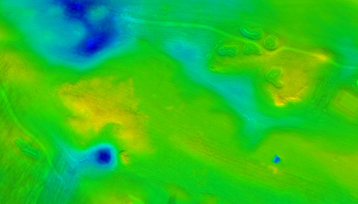
Digital elevation model