From now on, you can easily and quickly view and analyze aerial imagery in Android and iOS mobile apps as well as in their web version. Applications allow you to analyze multispectral data, RGB images, as well as thermal images taken from drones or aircraft. They provide access to data from anywhere and at any time. See the tutorial video.
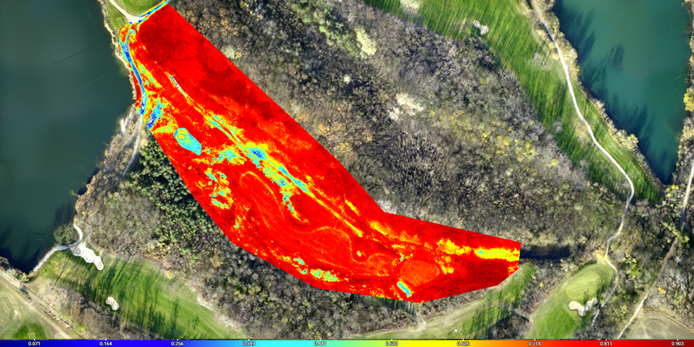
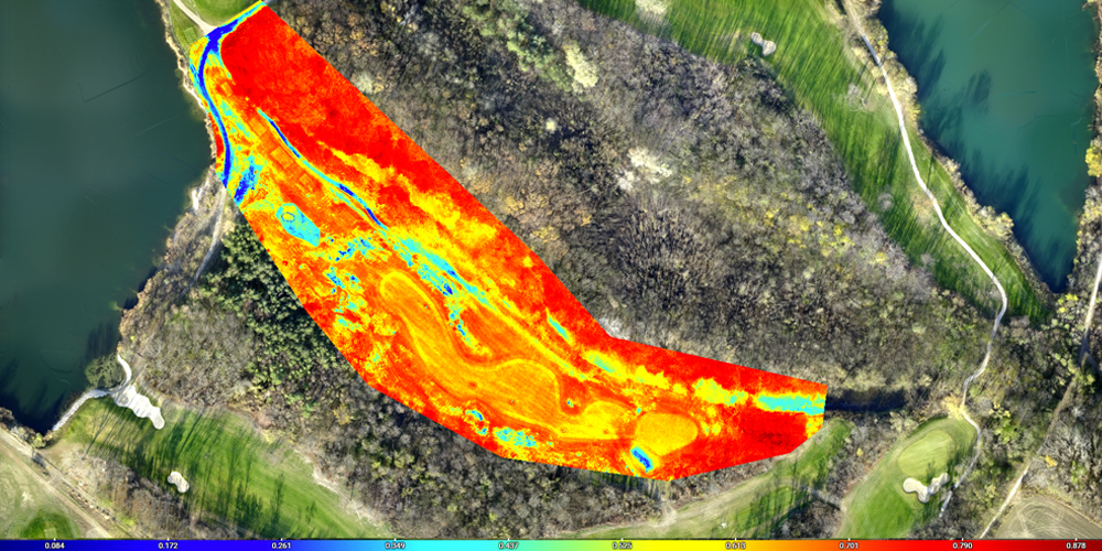
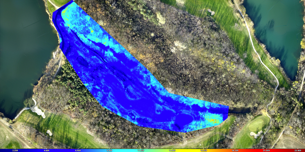
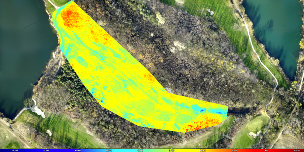
Grass vitality and detection of damaged areas
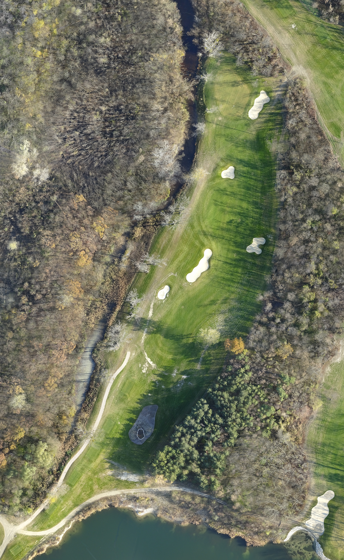
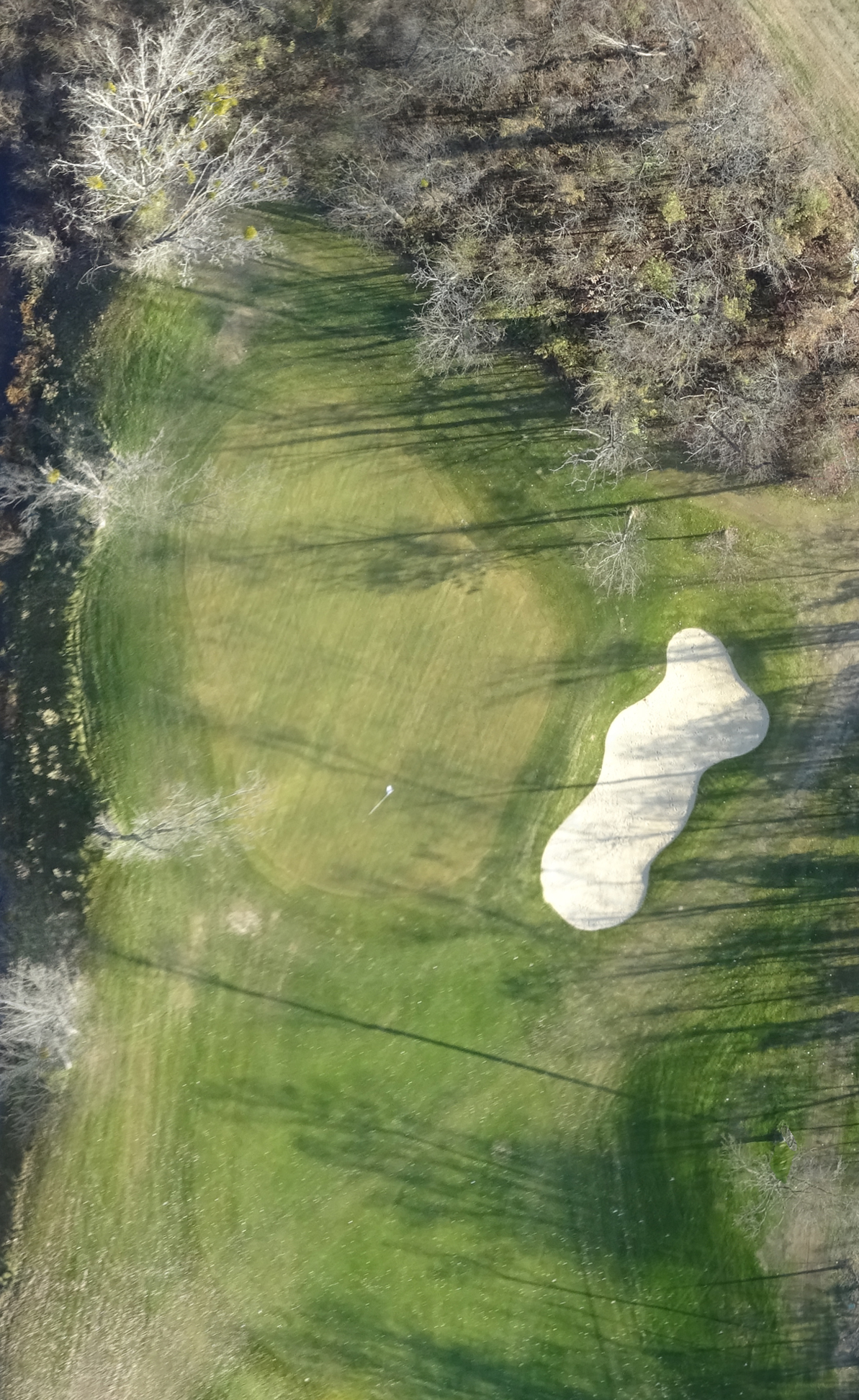
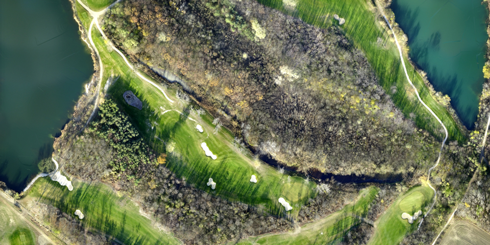
- Detailed view of a managed area on the orthophoto with a resolution up to 1 cm / px
- Simultaneous identification of grass health
NDVI is a general vegetation index detecting the vitality and the health of crops.
GNDVI is used for detection of water and nitrogen content in crops.
GRVI is used to monitor of biomass content in plants.
NDRE is sensitive to chlorophyll content in crops, is used at the beginning and at the end of growing season.
Background for birdie cards