FLY DRONES & SATELLITES

FLY DRONES & SATELLITES

Step 1.

Read more

Upload your data

Step 2.

Read more

Analyze

Step 3.

Read more

Results

Step 4.

Read more

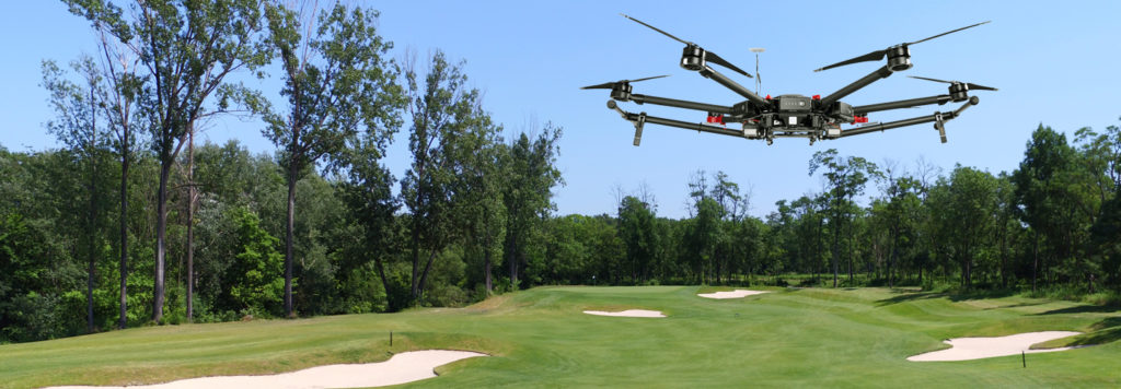
Use satellite multispectral data, fly with a piloted aircraft or fly drones over the a golf course. No matter what brand UAV is used, whether DJI, SenseFly, Parrot or other. Many of them can be modified to Altum, RedEdge-MX, RedEdge-M, RedEdge or Parrot Sequoia multispectral camera. See the tutorial video.

March (after sowing some greens)
July (after greening and fairway)
November (after realization of bunkers)
AGRO Inspector Download mobile application or you can work in web application.
Try demo